B U L L E T I N 2
Presentation competition in Trail-O (Trail orienteering)
TempO
Date: 11 May 2014 (Sunday)
Organizing team: Trail-O group Farmaceut Bratislava, with the kind support of the orienteering club ATU Košice (map and event centre of competition Open Slovak o- championship in relay 2014)
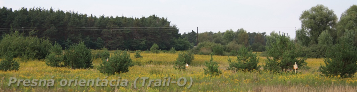
Event centre: Field close to the Izra lake, 10 km from village Slanec.
Coordinates: 48°34´34“N, 21°29´10“E
Distances:
event centre – start 100 m, climb 0m
finish – event centre 300 m, climb 25m
Registration: every time from 8.00 to 15.00 in event centre
Start: every time from od 8.00 do 15.00, start interval between competitors will be 2 – 5 minutes.
Classes: TempO – only one open class
CP Description: on the maps
Maps: Izra – T, 1:5000 (enlargement from 1:10000), E=5m, ISOM, spring 2014. A time control map differs from normal competition map. The extracted map segment is circular (or square) with diameter between 5cm and 12cm. The control circle (or square) for each control is marked at the exact centre of the map segment. The viewing point of seated competitor is within the map segment but not marked on the map. The map segment is oriented so that its vertical is at the mid-viewing angle between the A- flag and the furthermost flag on the right. This angle is the same for all controls at the same time control station.
Special symbols: green cross – root stock
Time limit: multiplied time limit 30 second for each time control – total net time 510 seconds (17 CP x 30s), for first cluster 150 seconds, remained three clusters 120 seconds for each, finish will be closed about 16:00.
Length of courses: TempO – 0.2 km, climb 0m, 17 CP (4 clusters), asphalt road
Punching system: At timed controls timing is stopped when the final answer is stated. Answers are given either by the use of a pointing board or orally using the International Phonetic Alphabet (Alpha, Bravo, Charlie, Delta, Echo, Foxtrot and Zero). When the official perceives an answer from the competitor, that answer will be recorded.
Note: It is not allowed communication between competitors in common Trail-O race and it is expected that you will not disturb other competitors in the race. Please adhere to this rule.
Terrain description: Moderately hilly continental terrain with a lot of contour detail coming from landslides and erosion. The area is rich in the valleys, the ridges, the marshes and the rocks. The deciduous forest predominates. The visibility is very good. The Trail-O decision points will be on asphalt road.
Prizes and ceremony: The competition will be classified, but we will not announce the winners, as this was a demonstration race and we expect that we will provide assistance in meeting the challenges that might be for some preferential or disadvantageous.
Protests or objections: verbally or in writing form to event director or course setters.
The race: We prepared two simple tasks for understanding in event centre and three tasks in one cluster just before the start (warm up). You have to wait for call by referee (block the view of terrain and flags) on specified place before approaching the viewing position on each cluster. The decision-making points are a chairs because identical conditions for each person. The competitor will obtain ordered set of maps with cover sheet. Then the competitor is introduced to the terrain with standard routine. The officials allow view to terrain and points out the outermost flags: Alpha and Echo, if five flags are in use or Foxtrot, if six flags are in use. The official can provide some additional information for some flags (the same information for each competitor) in the cases when flags can be difficult to see quickly and easily. Immediately following the pointing out of the last flag the official invites the competitor to view the maps with the worlds the „time starts now„. The competitor considers the problem on first map and gives an answer. This answer is repeated by the recorder and entered into the records. Without delay the competitor considers the problem on the second map and gives an answer, which is repeated and recorded. In like manner, the competitor continues to the last map and with final answer, the timing stops. Competitors must follow the map order and deal with each map without to reference to earlier or later maps. You obtain notice about approaching end 20 seconds before maximum allowable time. Penalty for incorrect answer or failure to answer is 45 seconds for each time control, which they are added to actual time taken to give the corrected time. The competitors are ranked for competition by their corrected overall times for all the controls.
Information: If anything is unclear, ask questions. We will try to inform you on all the intricacies and beauty of the discipline.
Organizing committee:
Event Director: Ján Furucz
Event Course Setter: Dušan Furucz
Opponent: Ján Furucz
All the competitors start at their own risk, with no possibility for claim in case injury happened during or as a cause competition.